Cautley Spout and The Calf.
Start. Sedbergh.
Route. Sedbergh - Underbank Farm - Stone Hall - Hollin Hill - Ellerthwaite - Thursgill - Fawcett Bank - Cautley - Cautley Spout - The Calf - Bram Rigg Top - Calders - Rowantree Grains - Arant Haw - Settlebeck Gill - Hill Farm - Sedbergh.
Notes. This is a walk that should grace the pages of everybody's walking log, (if you keep one) I've done it before and I'll most certainly do it again. It's a great walk passing through a typical Dales valley, I passed a number of delightful farmsteads, all varying in appearance as I explored the Rawthey Valley, individual buildings linked by field paths and ancient track ways. The cherry on the cake the ascent of Cautley Spout followed by a high level traverse back to Sedbergh.
I left Sedbergh heading east along the main road, after 150 yards a finger-post pointed the way, a narrow tarmac path lead through fields to Thorns Lane where I immediately turned left, from here yellow arrows marked my route. Along farm lanes, striding out through green pastures, wandering along ancient track ways passing Underbank Farm, Stone Hall Farm, Hollin Hill and Ellerthwaite before reaching Thursgill. From here an ancient packhorse route clings to the lower slopes of the Howgills passing Fawcett Bank before reaching Cautley.
Dominating the valley is the magnificent Cautley Crag terminating at the 650ft high broken cascade of Cautley Spout. My route ascended the almost staircase like path to the right of the fall, after fording Swere Gill I emerged in the high valley of Force Gill Beck. With the tumbling waters of the gill for company I casually made my way to the saddle between The Calf and Calders, where I turned right to reach the highest point on the Howgill Fells, the 2,220ft summit of The Calf.
An engineered path cuts across the fells, this I followed crossing the summits of Bram Rigg Top and Calders before leaving it to summit Arant Haw (the second time in three days). On Friday I descended the spectacular Ashbeck Gill today I made my descent down Settlebeck Gill, stopping for a quick brew before wandering back into Sedbergh.

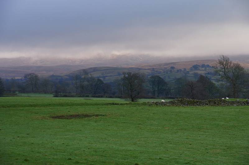
Wandering through Rawthey Dale with a not too promising bank of cloud cloaking the hills to the south.
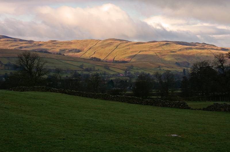
That's better, golden light on Middleton Fell.
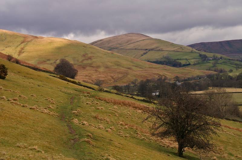
Nearing Cautley with views to Ben End and Wandale Hill.
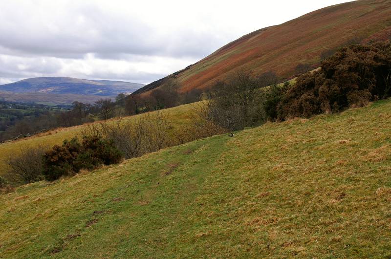
Looking back over the steep slopes of Cautley with Combe Scar on the far horizon.
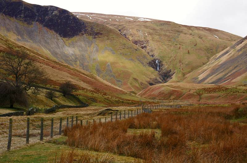
Cautley Spout dominates the valley of Cautley Holme Beck, the heather covered cliff to the left is Cautley Crag.
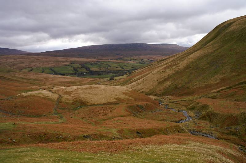
Baugh Fell seen from the steep ascent of Cautley Crag.
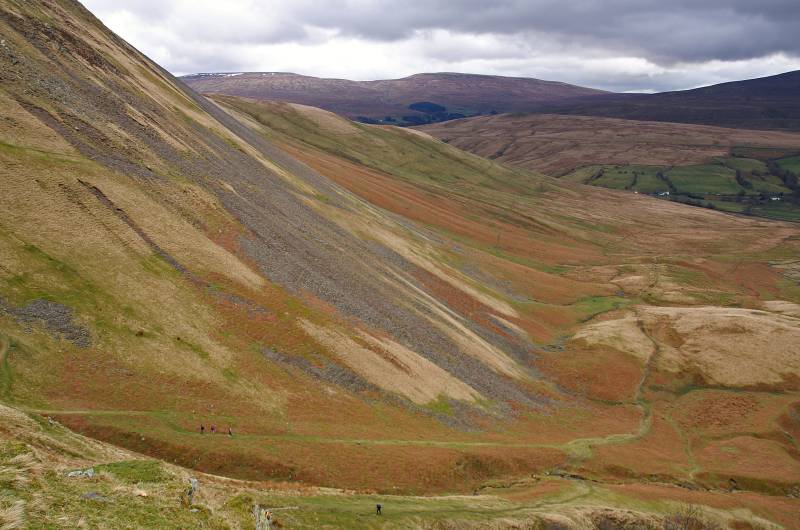
The scree slopes of Yarlside tumble in from the left with Wild Boar Fell gracing the eastern skyline.
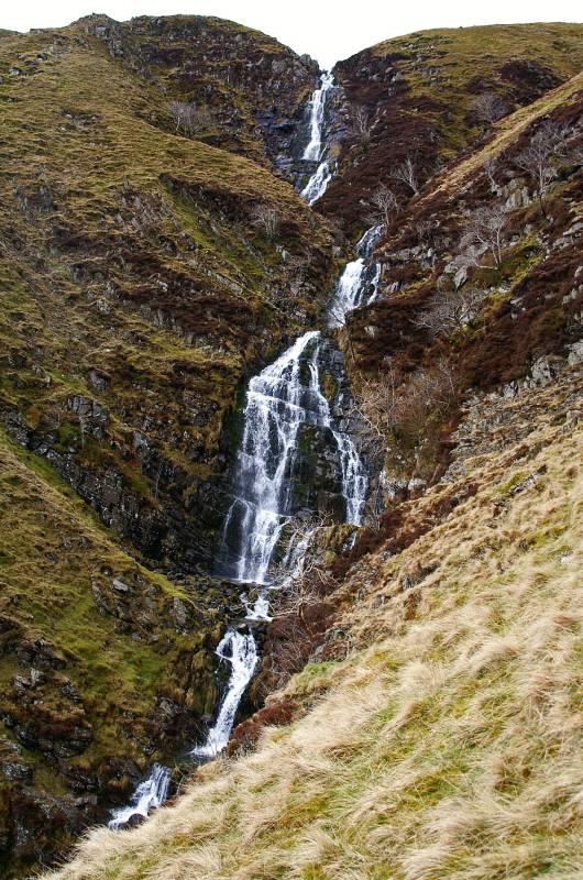
Cautley Spout a magnificent broken cascade tumbling 650ft to the valley floor.
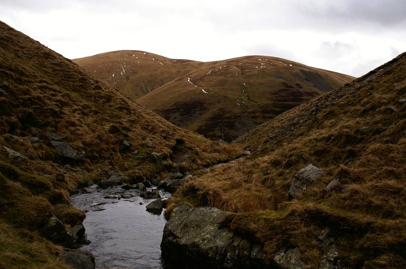
Yarlside seen from the banks of Red Gill Beck.
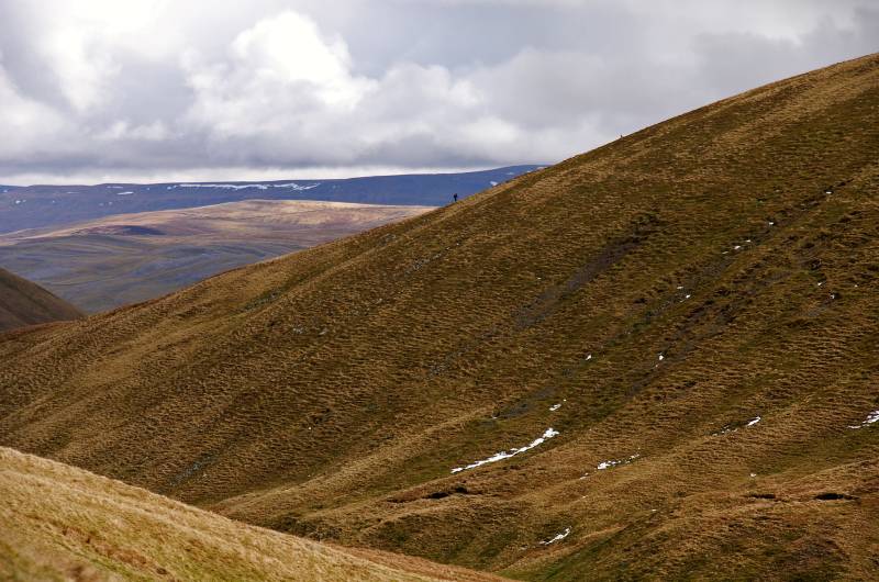
Views to Fell End Clouds backed by the dark ridge of Mallerstang Common, look closer two tiny insignificant figures ascend Cautley Crag.
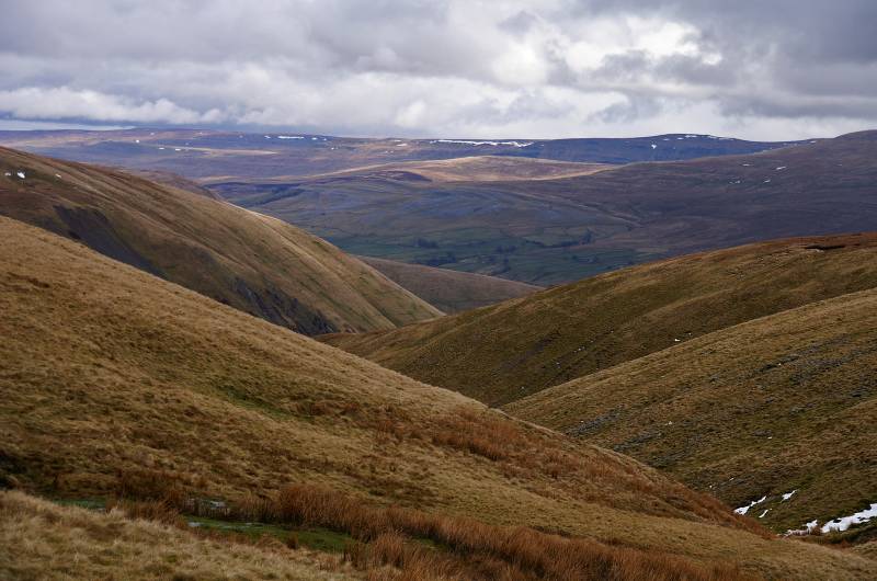
The high skyline is Mallerstang Common with Fell End Clouds in sunlight leading to Wild Boar Fell, seen from the saddle between The Calf and Calders.
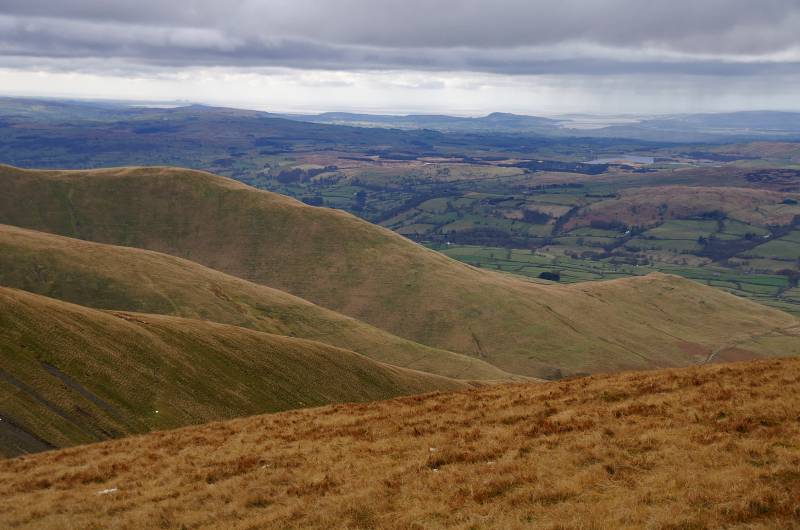
Breathtaking views to the west, a look over the ridges leading to Arant Haw, on a grey horizon Arnside Knott and upper Morecambe Bay.
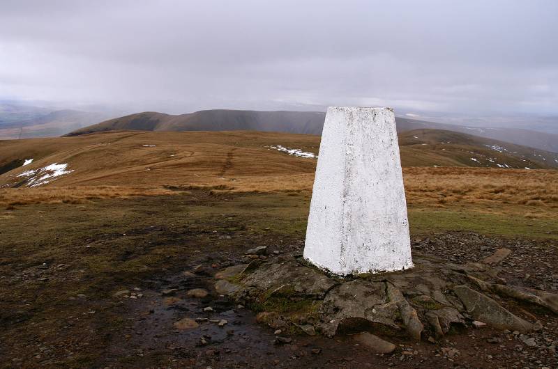
The highest ground on the Howgill Fells, this is the destination for most walkers, The summit The Calf.
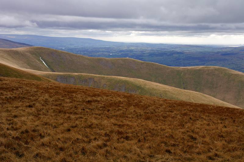
From the summit of The Calf wonderful views over the Lune Valley.
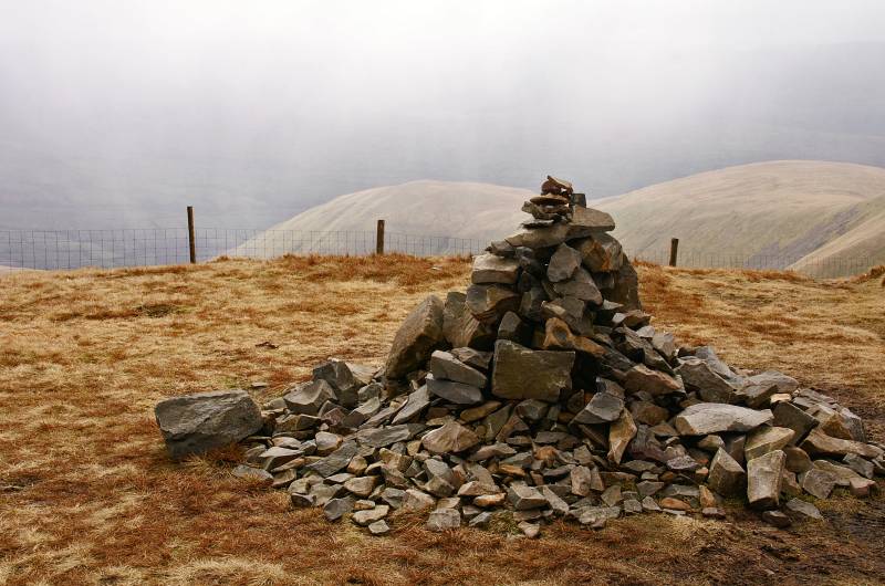
The summit cairn on Calders with views to Sickers Fell and Knott.
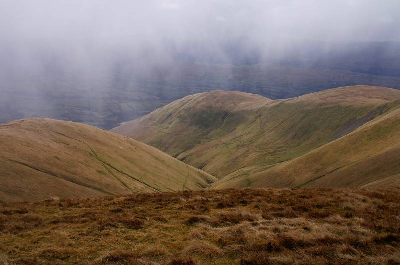
Heavy hail showers pass over the valley of Hobdale.
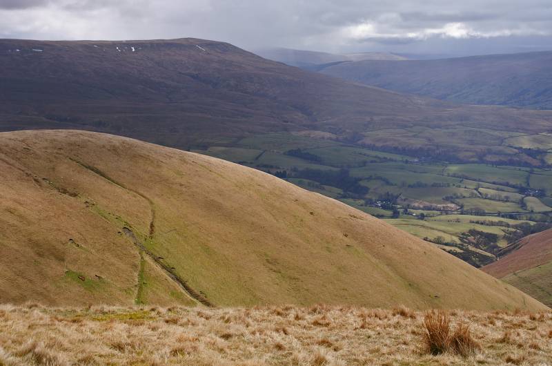
Rising high above Rawthey Dale, Baugh Fell seen over the rolling summit of Middle Tongue.
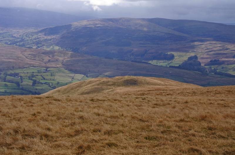
Providing a fine view point the ridge leading to Arant Haw, looking down on Crook with Combe Scar leading to Barkin Top, Calf Top and Castle Knott above Barbondale.
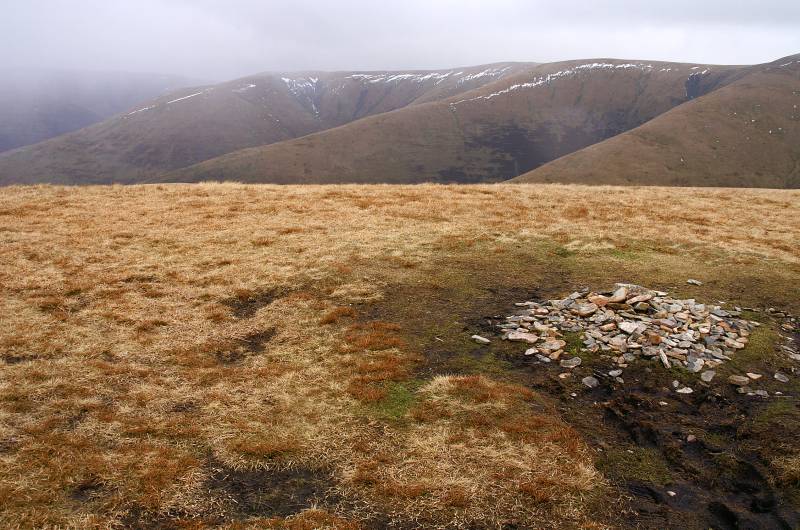
Under very different conditions than two days ago, the summit Arant Haw.
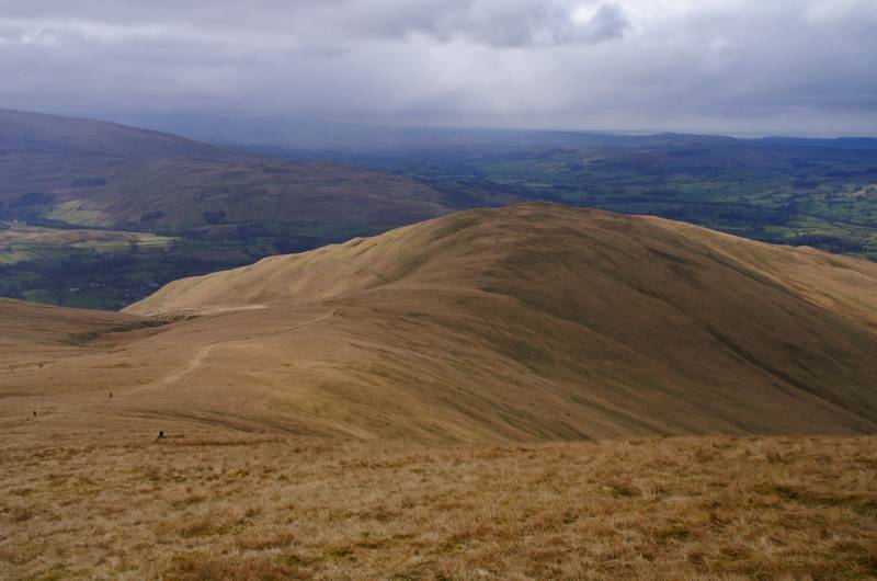
Showers sweeps across the Lune Valley, seen across the summit of Winder.
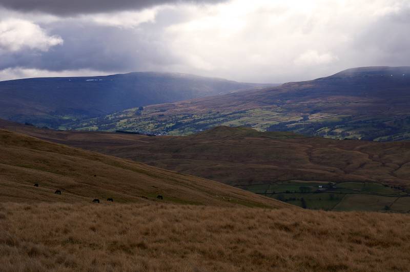
The stunning view over Helms Knott taking in Crag Hill and the highest of Yorkshires peaks Whernside.
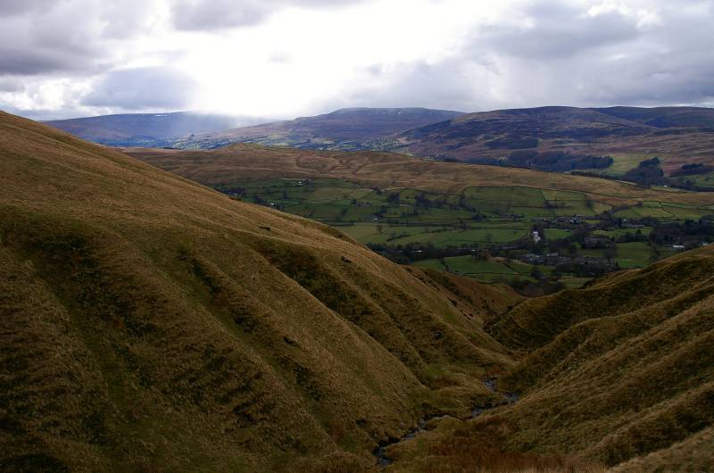
On Friday I descended Ashbeck Gill today it's the turn of Settlebeck Gill, not quite as interesting but just as spectacular.
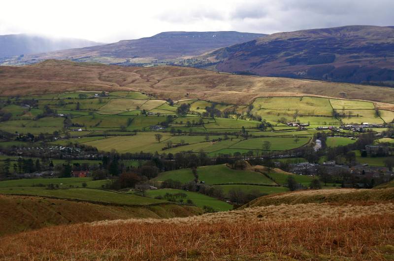
Above the valley of the River Rawthey with views to the hills above Dentdale, Combe Top and Crag Hill with Whernside far left.
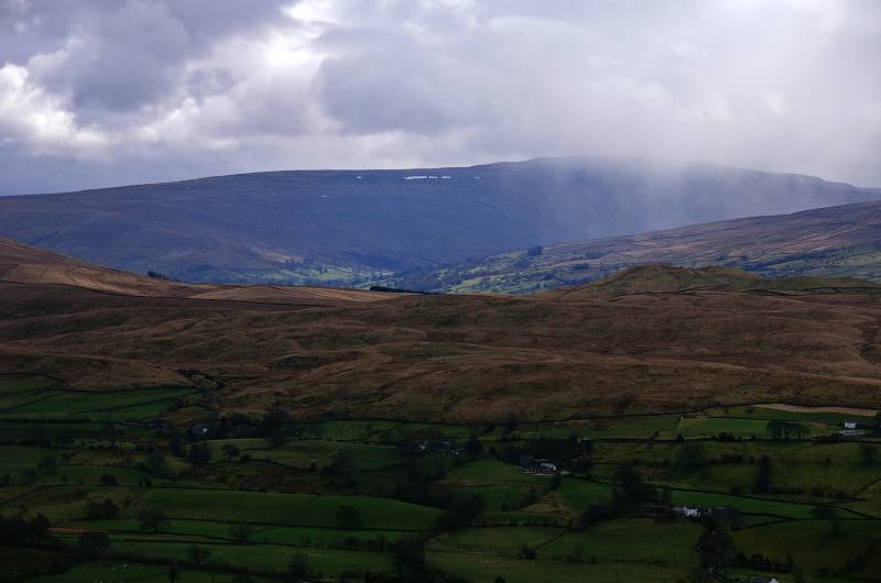
Looking to Whernside as a storm sweeps down Deepdale.
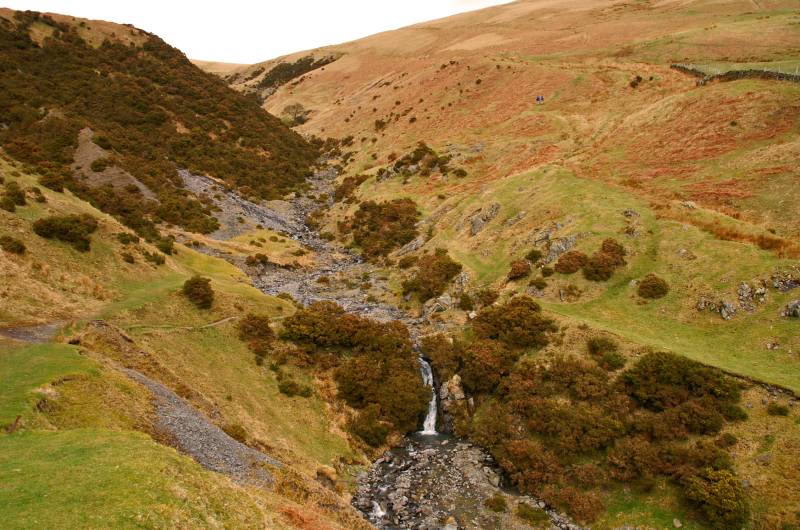
Almost at the intake wall, looking back up the deep cut ravine of Settlebeck Gill.